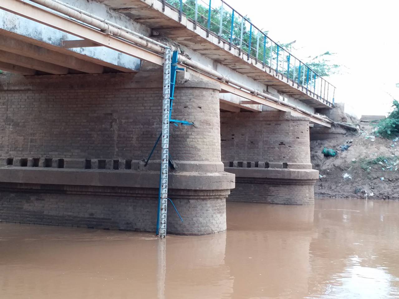
Jowhar is a key monitoring station in Middle Shabelle Region. The area is predominantly agricultural. Crop fields occur along the river while further away from the river there are abandoned crop fields. The river gauging station is located at a bridge that connects the main part of Jowhar town to the old sugar cane factory. Few meters upstream of the bridge is a weir that was constructed to control water getting into the canals for sugarcane irrigation.
Jowhar river gauge station was established by CEFA in 1999, and later re-installed by SWALIM in 2008 at the same position. Daily river level data is available from that time of installation to date. However, the stations does not have ratings, hence no flow data.
Shabelle River within Jowhar is raised above the surrounding areas. Farmers take advantage of this during low flows to open the river banks for water to flow into their farm
Mean Flow:
-
95% Exceedance (Q95):
-
50% Exceedance (Q50):
-
30% Exceedance (Q30):
-
10% Exceedance (Q10):
-
Max gauging level:
5.55 m
Max gauging level date:
2016-05-21
Max gauging flow:
-
Max gauging flow date:
None
Bankfull stage:
5.5 m
COMING SOON
Benchmark network scores and comments
This station is part of the Somalia Network,
a subset of gauging stations that are most suited for
identification and interpretation of long-term hydrological
variability and change.