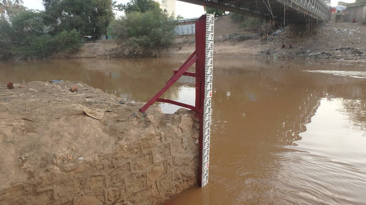
The uppermost station on the Shabelle River. It has the longest data records which dates back to 1951. A pre-war stable rating exists for in-bank flows. The station was re-established in April 2002 and daily water level readings are recorded by SWALIM up to date. A few attempts were made to carry out river flow measurements at the station but this was not sustainable due to security reasons.
Therefore, the river level readings are converted to flow using historical ratings that were generated between 1951 and 1990. The new (2002 to date) flow values have been examined and are considered to be accurate. SWALIM in collaboration with the authorities are making efforts to carry out flow measurements from this station as soon as the logistics on the ground allow.
Station Reestablished Period:
2002 - To Date
Mean Flow:
-
95% Exceedance (Q95):
-
50% Exceedance (Q50):
-
30% Exceedance (Q30):
-
10% Exceedance (Q10):
-
Max gauging level:
9.00 m
Max gauging level date:
2019-10-20
Max gauging flow:
532.85 m3/s
Max gauging flow date:
2023-11-14
Bankfull stage:
8.3 m
COMING SOON
Benchmark network scores and comments
This station is part of the Somalia Network,
a subset of gauging stations that are most suited for
identification and interpretation of long-term hydrological
variability and change.